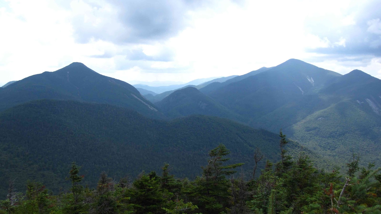
We headed south on the trail and arrived at Marcy Dam and began following the same trail that we had been on when we hiked Mount Marcy. This time, we would branch off to the northeast for a steep one mile trek to a great view of the high peaks. From the top we could see many of the familiar mountains and many of which we tried to find names based on the map. One of the most striking views from that vantage point is the angle that looks straight through Avalanche Pass.
 |
| A peek at some peaks from Phelps |
It seemed appropriate that we hike Phelps Mountain since his picture was the inspiration for the beard this summer:

 |
| I have a LONG way to go |

We hiked down and found the plaque and wreckage of a 1962 plane crash that occurred just below the summit. It appears that much of the debris has disappeared over the years.

After hiking back down to the trail intersection, we had lunch and embarked on the last mile towards the summit of Algonquin. Most of the trail has eroded away to bare rock and it made for some tough scrambles. Lisa got to use her "crawl up the mountain" strategy. When we arrived we were in the clouds but within fifteen minutes they started to lift and we had a great view of the high peaks on one side, Wallface Mountain and Indian Pass on another, Lake Placid and the Saranac Lakes from another and Lake Colden and the Flowed Lands.
 |
| Mt. Colden with Marcy |
 |
| Wallface Mountain |
 |
| Lake Colden and the Flowed Lands |
 |
| Wright Peak |
We sat on the summit and snacked while the clouds burned off and finally decided to head down the trail. It was tougher climbing on the descent than it was going uphill! Lisa got to use her five-point system while scrambling down the rocks. While heading down, Whiteface finally came out of the clouds and we had a great view of the northern peaks.
When we arrived at the car, we gladly changed out of our hiking boots and went to Lake Placid to meet Kevin for dinner at the Dancing Bear. We had chili nachos, buffalo wings and french onion soup (y'know....health food...) before going to Stewart's in Keene and getting vanilla malts to wash them down!
No comments:
Post a Comment