Sunday, July 23, 2023

Trek through Québec

It has been years since our last road-trip due to the pandemic and the fact that we had a child in April 2020 (welcome Annabel!), so we dipped our toe in for a quick jaunt into Québec for a tour de animaux. With freshly minted passports in hand we crossed the border and headed to Tim Hortons as our main destination. 


After lunch, we spent the afternoon at the Granby Zoo. It was Annabel's first in person view of megafauna and she was enraptured. The zoo was larger and more encompassing than expected but we did not take advantage of the attached waterpark (why does everything have a waterpark now? they'll be putting them in grocery stores soon!)


In true road-trip fashion, we didn't plan for our overnight accommodations, so we turned the car towards Montréal and after picking up provisions, we found a lovely site in Rougemont. After dinner, we spent the night floating in the pool (with hair tied up) and snoozed in the tent with Annabel playing tent-pong for the night.


Annabel announced that she was awake at 5:00, so we had plenty of time to eat breakfast and pack before heading west to Montréal. We planned to see more animals at the Biodome and despite some tricksy parking signage, we managed to be one of the first groups in. Walking through the different biospheres made us glad that we dressed in layers and Annabel seemed most interested in the underwater creatures (particularly otters and penguins). By the time we headed out, the Biodome was starting to get quite busy with summer camps. We bid Montréal adieu and crossed the Jaques Cartier bridge towards home.


I managed to sneak in one more stop for Tim Horton's doughnuts and we made our obligatory stop at the Fritz-Kaiser fromagerie for Annabel's premier visit. She was not disappointed and managed to stay awake for the long drive down the Alburg tongue and through the Champlain Islands. 


T'was a short trip, but I think we have a great new road-trip buddy!

Tuesday, July 23, 2019

Home Again

Without much trouble, we made it home with a stop at the Fritz-Kaiser Fromagerie in Noyan, Quebec to stock up on cheese. Lisa was as happy as could be. Our travels across Ontario surely made us appreciate the landscape of Vermont when we returned.

Our route for this trip is below. Until the next trip we are half fast, home at last!


Monday, July 15, 2019

Voyageurs National Park

Driving through Saskatchewan is much like driving through eastern Montana and North Dakota, except there are no towns and they are growing yellow flowers instead of wheat and corn. It was a slog of a drive with one stop for the worst taco salad that Lisa has ever had. I had a passable ham sandwich. Just after crossing into Manitoba, we ducked south into North Dakota and continued east. 

At the end of the day, we arrived just inside the Minnesota border and found a great campsite at Bronson Lake State Park. We managed to have our tent set-up and dinner made in ten minutes which means that we are really on our game at this point in the trip!

The next morning, we drove to the boat launch to see Bronson Lake. It was a fairly uninspiring reservoir so we decided to keep driving east. The landscape through Minnesota was much improved over the previous day since there was a landscape. We saw plenty of deer along the roadside and drove gingerly.

At noon, we had arrived at the Rainy Lake Visitor Center at Voyageurs National Park. Since the park encompasses many lakes and islands, we signed up for the grand tour. The cruise reminded us of the voyage that we took on the St. Lawerence a couple of years back. This landscape was much less developed and not used commercially since the fur trade isn’t what it used to be. We saw many gold mines and plenty of wildlife including deer, bald eaglets, a nesting loon and a squirrel. This is certainly a park worth coming back to with boats.


After disembarking the S.S. Minnow, we grabbed some dinner in International Falls and found a campsite at Hoodoo Point Campground (a private venture) on Vermillion Lake. Other than some drunk fisherman carousing next door, it was an easy night - and they were nothing that ear plugs couldn’t fix.

On our next morning we continued venturing through the forests of northern Minnesota until we finally saw the seemingly everlasting waters of Lake Superior. We followed the shoreline road to the north until arriving at Grand Portage National Monument. It was the main point of trade for the Voyageurs during the fur trading years in Canada. The site featured a recreated trading post with a kitchen and great hall as well as interpreters in period costume. We particularly enjoyed the “Montrealer” canoe which was thirty feet long and made of birchbark.


We decided to continue driving along the northern shore of Lake Superior for the day and we spent the evening at Pukawaska National Park. Unfortunately, the mosquitos were terrible and we spent the last few moments left of the evening reading in the tent.

The mosquitos were still out in the morning so we donned our bug nets and headed to the beach to eat our breakfast. This would be a park to explore later in the season…or perhaps in a less rainy season. We continued our venture east along the northern shore of Lake Superior, impressed at how little development and trace of civilization appears in this part of Ontario. The winters must be horrible up here!


We stopped for breakfast in WaWa - one of the only businesses left in town apparently and continued driving east through Sault St. Marie where we are currently sipping on some root beer floats at the A&W. Eastward ho!

Friday, July 12, 2019

Banff National Park

Upon our arrival in Banff. we were greeted with steep mountains, breathtaking scenery and rain on a day forecasted to be clear. We found a campsite at Protection Mountain and ventured out to see the classic sights of the park. Unfortunately we found a long line for bus shuttles and the prospect of getting no time to explore the areas that we wanted to see. A new plan was needed as we ducked out of line….

We spent the rest of the day waiting out the intermittent rain showers at the continental divide (we technically went to British Columbia by 10 meters or so…) and at our campsite. Lisa made a delicious pile of Mexican slop for dinner.


The next morning we industriously awoke at 3:30AM to explore the southern lakes so that we could avoid the crowds. We packed up our soaking, soggy, wet tent and headed to Moraine Lake - arriving still before sunrise. There were plenty of parking spots available and we walked the shoreline trail, stopping for a quick breakfast under the eave of the lodge’s porch. The light of the sunrise made for a beautiful effect on the aquamarine water and the glacier carved peaks. We meandered around the lake until 6:00AM or so and when we returned to our car the parking lot had filled.


We left to explore Lake Louise. We wandered the shoreline trail, admiring the beautiful scenery and trying to ignore the generic monstrosity of a hotel behind us. By this time, Banff was waking up and we were surrounded by joggers and hikers. The views of the mighty cliffs were stunning.


We spent the rest of the morning driving the Icefields Parkway through the northern part of the National Park. At this point, the crowds dispersed and the park became much more endearing to us. In fact, the scenery along the parkway continued to improve as we drove. We stopped at many of the lookouts and did a few short walks to overlooks, admiring the glaciers, crags and stunningly blue lakes. 


As we began to veer east, leaving Banff National Park, the mountains continued to impress for many miles. The folds in the uplifted rock were evidence of some mixture of geologic forces beyond our fathomability. Eventually, we made our way to the prairie and started driving across the plains of Alberta.


We spent the night at a small campground just inside the Saskatchewan border and are continuing to drive east along the Trans-Canada highway today. It is much like driving across North Dakota but with fewer towns and more Tim Hortons.

Tuesday, July 9, 2019

Waterton-Glacier International Peace Park

After leaving the bustling metropolis of Townsend, Montana we drove through Helena, one of the least impressive capital cities in the United States and headed north arriving at the eastern entrance to Glacier National Park around mid-day. After stopping at the visitor center for sage hiking advice from one of the rangers, we headed to the Rising Sun Campground where we got the second-to-last available site for the day (the last site had a warning posted that a marmot could chew the wiring on your car so we weren't terribly interested...).

We set up camp and headed for the shores of St. Mary Lake where we picked up the nearest trailhead. With questionable weather, we thought we would do a short hike and doddle at our campsite for the evening. However, the skies cleared as we walked and we ended up hiking for about seven miles to see Virginia Falls on the opposite side of the lake. It was an impressive waterfall along with St. Mary Falls and Baring Falls that we saw along the way. We had mostly unobstructed views of the surrounding mountains as we hiked through the recently burned forest. We returned to our campsite for the evening and munched on quesadillas for dinner.


After arising in the morning, we drove the jaw-dropping Going to the Sun Road which was so much more stunning than our last trip when we drove through the snow and rain. We enjoyed the lack of traffic and stopped to gawk at many of the scenic overlooks. Naturally Lisa was doing all the driving with two hands on the wheel and all eyes squarely focused on the road ahead.


After our Logan Pass venture, we parked the car and hiked to Avalanche Lake where we had more quesadillas for breakfast at the trailhead. It was a well maintained trail through large pine and cedar forests. The lake was at the bottom of a giant glacial cirque with six waterfalls cascading the cliffs. We enjoyed the view, but it was evidently a very popular trail based on the busloads of humans on the beach with us.


Heading back over to the eastern side of the park at mid-day was a bit more busy and we were not able to stop at the Logan Pass visitor center due to lack of parking. Instead, we grabbed a quick lunch at our campsite and headed to Many Glacier, a part of the park accessible from a "road" leading from the town of Babb.

We followed the "road" along Lake Sherburne and parked the car in a pothole before hiking to Swiftcurrent Lake and Lake Josephine. The walk was easy and afforded great views of the peaks surrounding us. On our return trip, we pulled our guitar and mandolin and played tunes at the picnic area. We met a part-time nature photographer that set up his scope to clearly see grizzly bears at a 60x distance. That might still be a little close for Lisa...


We dined that evening at the Two Dog Flats Grill near our campsite and went to bed early (and still in bright daylight until after 10:00) since we had such a busy day.

The next morning, we packed quickly and left Glacier National Park to drive north - dodging cattle that was seemingly fenced into the roadways. We entered Canada and immediately went to Waterton National Park, the Canadian portion of the Waterton-Glacier International Peace Park. The views of the lakes and mountains were just as stunning as the American side. However, we learned that most of the park was closed for construction including the Redrock Canyon that we hoped to see. Instead we hiked along the shore of Upper Waterton Lake to Bertha Falls. The views were unobstructed due to a large fire that swept the park in 2017 which happened to be the reason for the massive construction within its borders.


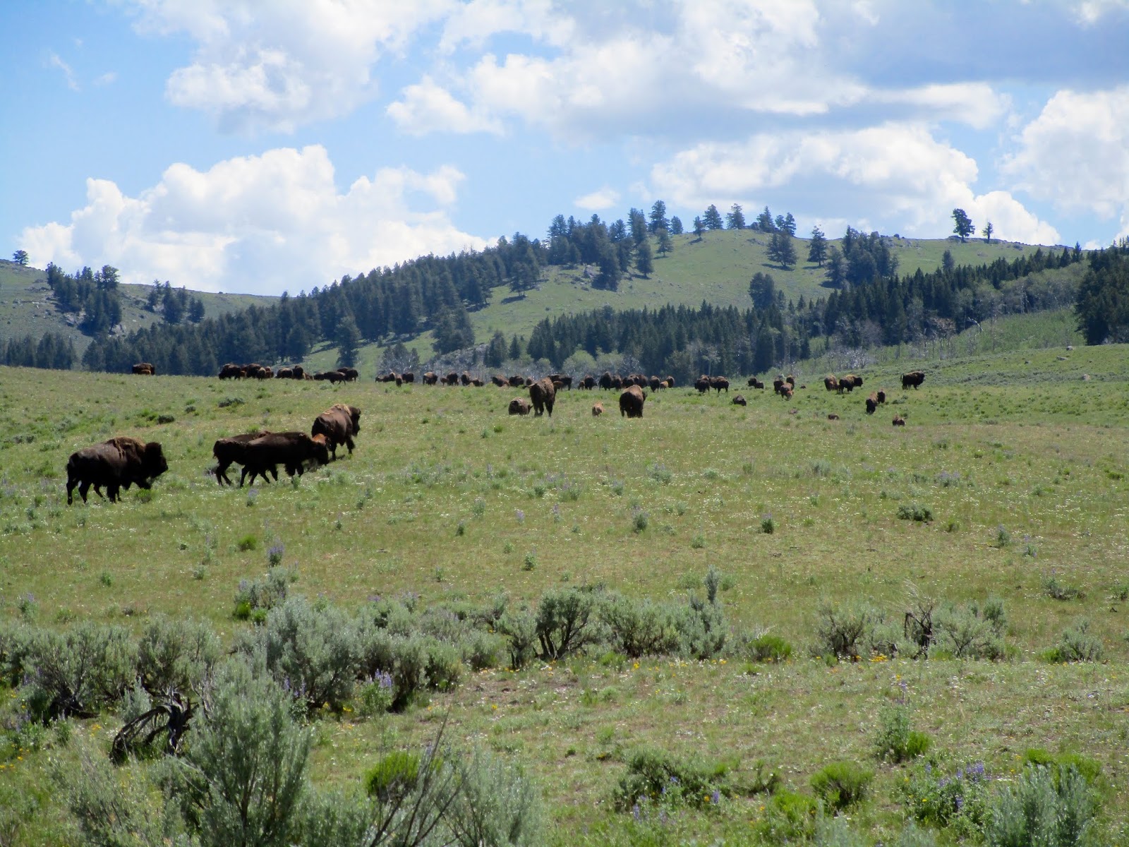
Heading north, we made our next stop at "Head-Smashed-In Buffalo Jump World Heritage Site." Despite the crazy sounding name it was an amazing museum that was set at the site of a cliff that had been used for six thousand years as a place to hunt bison by native people. They would trick the herds into running over the cliff and have enough meat and pelts to sustain themselves through the winter. A cruel trick maybe, but pretty darn clever!


We finally got sick of driving in Calgary where we are spending the night. Tomorrow morning, we will be off to see Banff - one of the prettiest places known to manff.

Sunday, July 7, 2019

Yellowstone National Park

After some refreshing showers at the Colter Bay Launderette, we bid the Tetons farewell and headed north towards Yellowstone National Park for the day. As we drove north, the slight smell of sulfur started to emanate through the car and we began to see steam rising from the earth on the shores of Yellowstone Lake. We had last visited this park on our trip in 2010 and had spent a few nights at the Norris Geyser Basin. Today - we would just be passing through.

We enjoyed the scenery along our meander through the eastern side of the park. Our first stop was at the Uncle Tom's Trail and Artist's Point near Canyon Village. There was a solid crowd enjoying the view today evidenced by the busy parking lot and lines for the bathroom. We walked the trail, but the stairs that we fondly remembered leading into the Grand Canyon of the Yellowstone were under repair. We got some great shots of the Yellowstone River falls from the rim though!


Heading north - we found a herd of buffalo running back and forth across the road (and naturally tons of cars stopped with cameras at the ready). We joined in and Lisa particularly enjoyed the bounding young bison.


Our next stop was at Tower Falls - we pushed through the crowds to get a view from the top and enjoyed the lack of humans on the descent into the canyon. All it takes is a little elevation loss or gain and people thin right out! The view from the bottom was gorges and looked like a miniature version of the Grand Canyon of the Yellowstone.


We then started heading west with a quick stop at the petrified tree. We had seen the ancient redwood tree before and we snapped a quick picture. Our real destination was Lost Lake which was a short hike away. We were happy to lose some of the crowds again as we made our way.


We also made a quick stop at Undine Falls.


Our last stop for the afternoon was at Mammoth Hot Springs and the crowds were the thickest of the day. It was in stark contrast to the last time we visited at 6:00AM... We walked the boardwalk and enjoyed the mineral formations that seemed less wet than the last time we were here. Either way, the sulfur smell was quite present.


We spent the evening in Townsend, Montana where we slept next to a snorting pig-hog.


Friday, July 5, 2019

Grand Teton National Park

Since we didn't feel comfortable climbing bare hills the day before, we started our day by hiking to the Dubois scenic overlook. In hindsight, we could have driven...but that is not what this trip is about. It's actually about eating.

Once on the top, we ate our breakfast with the panoramic view of the Wind River Range on one side and the Wyoming Badlands on the other. With the soft morning light, we had some delicate shadows and pale orange light to make our view even better. However, we didn't have time to dawdle - we were planning on getting a campsite in Grand Teton National Park and it was the Fourth of July.


Our approach to the Tetons from the east was stunning as the mountains just seemed to appear from nowhere. We pulled into Colter Bay at 9:30 and had to wait in line for a bit, but we were successful in our mission. We had a place to camp on the Fourth of July!

After setting up camp, we returned to the Colter Bay Visitor Center and spent the rest of the morning and afternoon wandering around the network of trails on the shore of Jackson Lake. We first hiked the lakeshore loop, which offered fantastic views of the peaks and the lake. On the connecting beach between the two loops we had a picnic and watched the SUPs paddle on by.


In the afternoon we kept to the Colter Bay area and hiked first to Swan Lake and Heron Pond where we saw both swans and herons as well as a beaver. Lisa's goal was to not see a bear and she was still successful after that venture.  We then had a great dinner at the Colter Bay Ranch House and wandered along the lake shore until we saw some goings-on in the amphitheater. After a ranger talk on the importance of fire in the ecosystem, we hit the hay early and slept intermittently due to the fact that the ten percent chance of rain meant that it would rain all night long...


The morning was cool and the ground was saturated, but we donned our hiking boots and headed to the Leigh Lake trailhead. We then walked along the shore of String Lake to the outlet bridge into Jenny Lake. We then hiked the Lake Perimeter, which was on a bluff overlooking the glacial pond before we started to climb in elevation towards Cascade Canyon. Once we arrived at the bottom of the U-shaped canyon, the trail flattened considerably and the scenery was breathtaking. We had never seen the Tetons from within the mountains and we were surrounded by sheer cliffs, jagged mountain peaks and numerous waterfalls. It rivaled the Yosemite Valley for pure natural scenery!


We eventually had to tear ourselves away from the canyon since the trip is really about eating...we ended our day at the Colter Bay Cafe where we split a pizza. Luckily it was huge and will double as breakfast. We will be off to Yellowstone in the morning.


Wednesday, July 3, 2019

Dubois

We learned quickly that Lander was not a place that we wanted to spend a significant amount of time. Its isolation might explain the odd interactions that we kept having with the locals. Or perhaps it was the fact that they would be celebrating the fourth of July by having armed local militia walking the streets and setting off commercial grade fireworks from dusk to midnight...to each their own?

Our only stop within the city limits was Sink Canyon State Park which had a weird natural feature where a river enters an underground cave through limestone cracks and emerges a quarter of a mile away in "the rise." However it apparently takes more than two hours for the water to make the journey, there is more water and it is warmer than when it sank...more oddities from this odd place. We walked from the cave to the rise, which was filled with gigantic trout, but with clouds overhead we decided not to do any extra hiking for risk of lightning.


A collective sigh of relief was breathed when we saw Lander in our rear view mirror. We drove through the Wind River and Arapaho Indian Reservation with the Wind River Mountains to our left until we arrived in the town of Dubois. We stopped in the visitor center to find some local hikes and the staff told us to stop at the Bighorn Sheep Museum next-door for free bratwurst. We could tell immediately this was our kind of town!

We feasted on our lunch and toured the museum which showcased the efforts made in the local area to maintain the bighorn sheep herds in the wind river mountains. Based on the number of taxidermy sheep showcased there is either a large population to draw from or they have mostly been turned into furs...


Then we found ourselves heading up a dirt road toward the conservation camp where we hiked part of a mountain to see some amazing petroglyphs. There are herd paths that lead around them and a sign reminding hikers that the area is always on camera. These carvings by the ancestors of the Shoshone Tribe were much different than the ones that we had seen in Colorado and Arizona - they were much rounder and more alien looking.


The rest of the afternoon was spent by the Wind River picking tunes and walking through the town. With menacing clouds moving through the area, we just didn't feel comfortable hiking into higher elevation with little tree cover. That being said, Dubois is certainly a place to explore but we feel the need to move on for now with the Fourth of July weekend coming up.


Tuesday, July 2, 2019

Dinosaur and Flaming Gorge

Upon arrival at Dinosaur National Monument we first snagged a campsite at the Green River Campground that overlooked the river. It seemed like prime real estate and we then headed back to the visitor center to see the quarry exhibit hall. We last visited this park in July 2010 but the quarry building was under construction and we didn't get to experience much of the dinosaur part of Dinosaur National Monument.


Not so this time, the building was ready for exploration and the uplifted fossils were amazing to see. The wall was once a dried river bed that contained many dinosaur corpses and the bones were a jumbled mess. We tried to make sense of which bones belonged to which dinosaur - I particularly enjoyed the tailbones of the diplodocus. Lisa found a kindred spirit in the camarasaurus as she snapped lots of pictures.


We hiked the short fossil discovery trail back to the visitor center and enjoyed the exhibits in the museum before returning to our campsite. It turned out that the real estate wasn't so prime after all, we were swarmed by mosquitos and black flies when we were in any shade. Luckily we could stay away from the bugs if we stood directly in the sun....in the desert...in 95 degree weather....oy.


We donned our long sleeves and sun hats and sat in the sun by the river for much of the afternoon until a crayfish crawled across Lisa's foot. We then went to Josie's cabin at the end of the road to explore a settler's cabin and box canyon (where she kept her sheep). Sadly the bugs were still swarming there, so we went back to our site, cooked some supper and hid in the tent for the rest of the evening.


In the morning, we threw gear in the car and went to Vernal, Utah where we checked surrounding weather and park reservations. We decided to start heading north and our first stop was at Redfleet State Park. We intended to rent kayaks because of Lisa's fond memory of paddling past fossilized dinosaur footprints! Unfortunately there seemed to be no staff at this park at all. We couldn't even find anyone to take our day-use fee.

Instead we continued north and found kayaks to rent at a marina in Flaming Gorge National Recreation Area. The flooded area of the Green River made for some picturesque kayaking as we paddled among the red sandstone cliffs. We stopped for a picnic at a sand beach and explored the dam area and the narrow area to the west. It was great to be on the water - even on a giant self-bailing raft thing...


We then started driving north through some of the most diverse landscape that we have experienced. Our path took us through Rock Springs, Wyoming where we found a great dinner at Fiesta Guadalajara. We continued north through prairie then the Wyoming Badlands, crossing the continental divide on the Oregon Trail Auto Route. The Wind River Range was prominent to our left for most of the drive and we landed in Lander, Wyoming for the evening. A solid job of work.